Days 130-136 – mammoth to Rock creek
August 28-September 3 | SOBO Miles 1746.5-1893
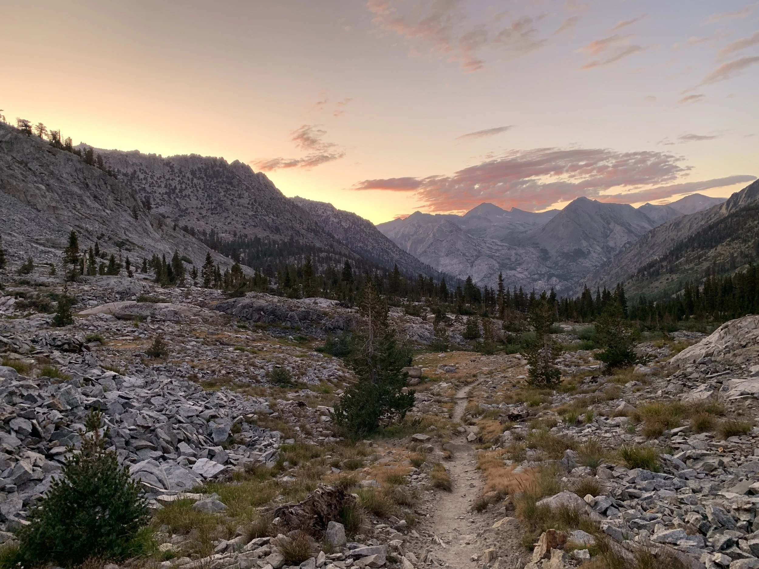
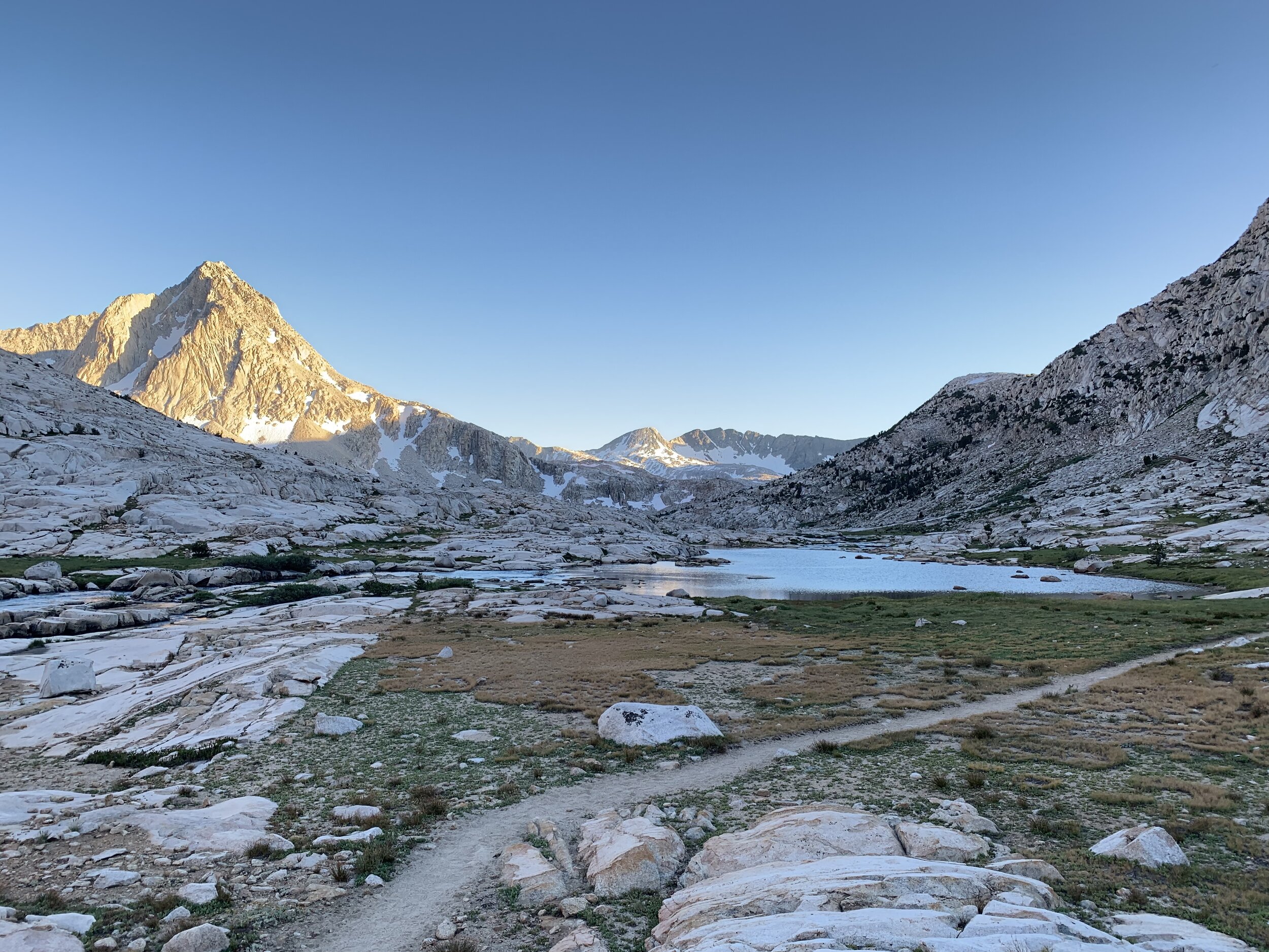
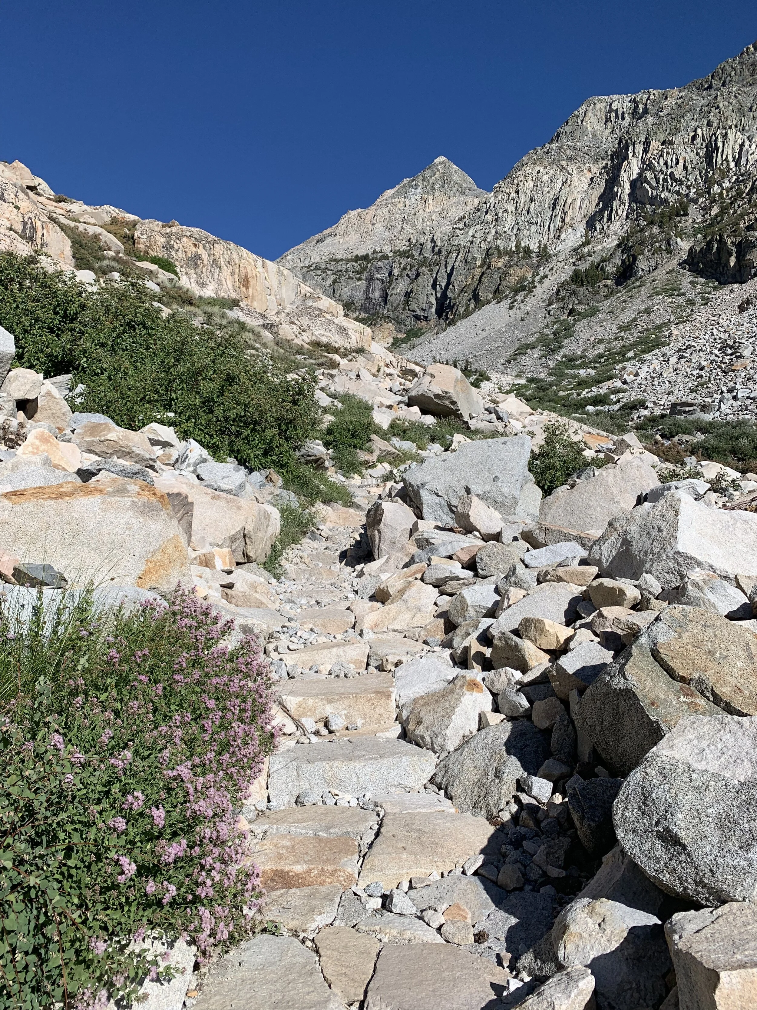
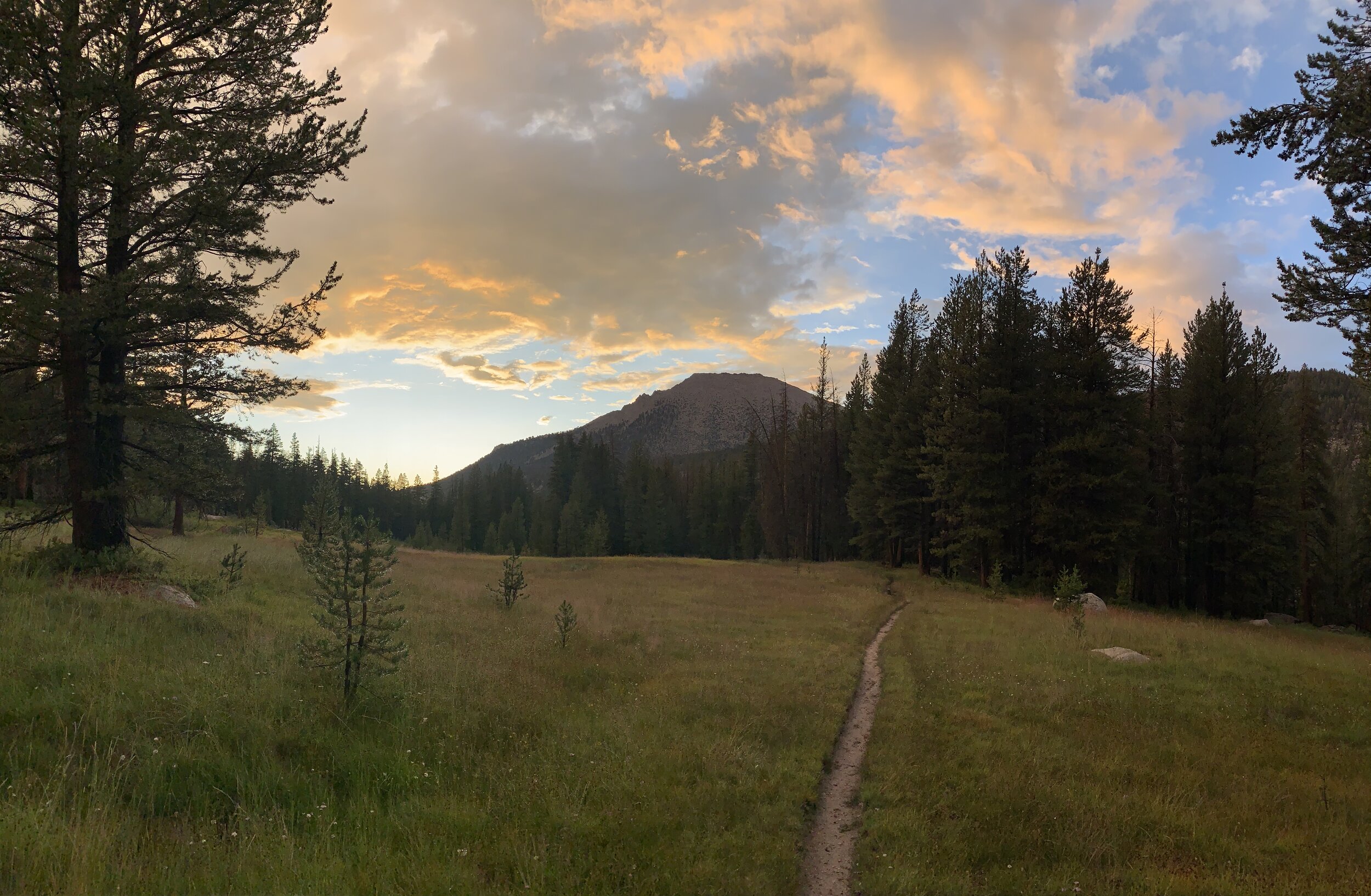
These 7 days took me through the High Sierra, with stunning landscapes and high mountain passes around every corner. Here’s how it all went down:
Day 130 – 12 miles / 3,420 ft. elevation gain
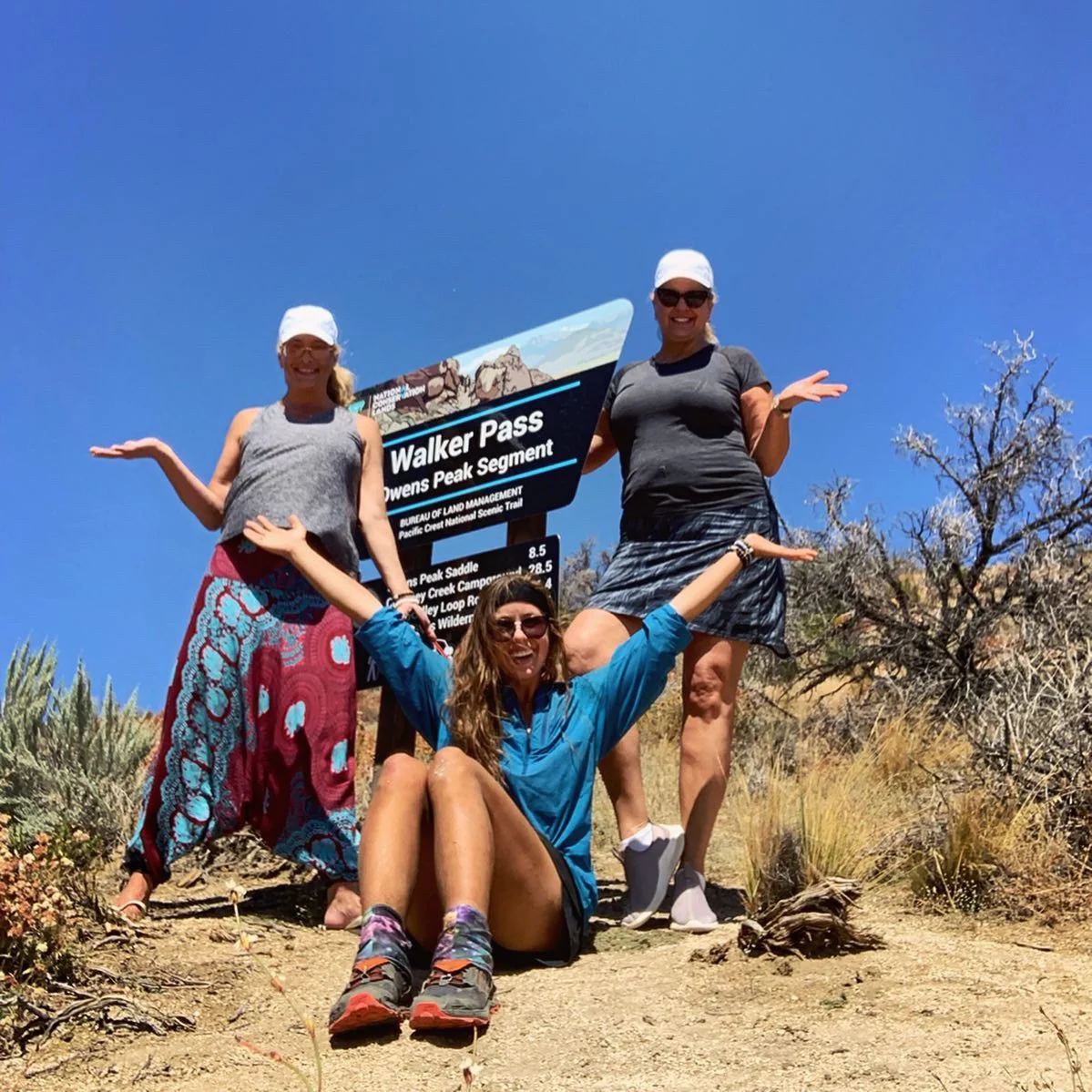
I rolled out of Red’s Meadow at 2PM, in the heat of the day, like a fool. The temps, however, were not enough to keep me from speeding by scores of JMT hikers hobbling under their painfully heavy packs. I wasn’t one to talk, though–I’d stuffed my own pack with 9 days’ worth of provisions. I planned not to stop between Mammoth and Kennedy Meadows (the real Kennedy Meadows, gateway to the southern Sierra, or the official end of the Sierra in my case), where I would then snag a quick day-and-a-half resupply to get me to Walker Pass 50 miles thereafter.
The distance was daunting: 204.4 miles. The passes loomed large, demanding serious calorie intake. The result: my back would pay the price. All told, I’m guessing my pack weight including the stuffed bear can and the three giant baggies of salad, ramen, and chocolate bars was somewhere around 50 lbs. How could I tell, you ask? That’s what my dog weighs and I carry that fluffy guy around sometimes because he likes to feel small.
At any rate, I powered up the long gradual climb and was spit out onto a ridge with panoramic views of the mountainous green forest. As I made camp that night on a flat rock in a dry meadow, the mosquitoes descended. I made the mistake of leaving my tent 1/4 of the way unzipped as I unpacked for the night and entered my home five minutes later only to find they had colonized. I retaliated and the floor of my tent became a mass mosquito grave. After the killing, I slept like a rock under a brilliant starry sky.
Day 131 – 25.8 miles / 5,844 ft. elevation gain
I spent 30 minutes snuggling in my quilt this morning as I watched the sun rise. I was out before its rays touched the walls of the Purple Lake basin, climbing in the chilly morning air towards Virginia Lake.
I passed 10 more JMTers, weighed down by their Nalgenes and waterproof boots. I am allowed to make fun because I was once one of them.
Silver Pass was more of a challenge than I had expected, in part because of the climb’s steepness and in part because of mosquitoes. Both decreased in severity as I reached the tree line, where I met two old Canadian guys who, upon hearing where I had come from that morning, joked that they were Ford F-150’s and I was a Ferrari.
Atop the pass I gobbled down some coconut oatmeal, which I’d been saving for lunch as I am suddenly very aware of my limited rations. The very effective PCT diet is a combo of a) only buying cheap foods and b) only eating as much as you are willing to carry.
Throughout the day I had a hard time staying in the moment, my thoughts centered on the remaining number of days between myself and my goal. I had to pray for presence each time I felt myself imagining the coming muscle fatigue, foot pain, and lung exertion.
The afternoon consisted mostly of the arduous climb up Bear Ridge, capped off by a little bag of dried apricots as I descended and strolled up and along Bear Creek. The crossing was even less serious than it was in June of last year, telling me that any future snow problems would likely be no problems.
I claimed a sandy piece of real estate just above 10,000 feet as the sun dipped behind a wall of jagged granite.
Day 132 – 25.3 miles / 4,704 ft. elevation gain
I woke this morning to a layer of frost covering my backpack and the meadow around me. The mesh ceiling of my tent was overrun by tiny rivers that turned into droplets of condensation falling on my soaked quilt. Yet, somehow, I had slept almost wakelessly, and my eyes were pretty much still sealed shut for about an hour after I got up.
And since it was late enough, a quick bake in the 7:30 sun did just the trick to dry out my quilt.
I was up and over Selden Pass by 9, after having skirted the beautiful Marie Lake. Then came the 3,200 foot descent down to the Muir Trail Ranch junction, during which I ran into friends from the Washington section, Juicy J and Squish. They were going North and about to be finished in Yosemite.
I stopped counting the number of JMT hikers I passed. I’m sure many of them were about to head to MTR and give away half their tasty high-quality resupplies, but I resisted temptation. I had done the math and reasoned that I had just about exactly as much food as I needed to get to Kennedy Meadows (plus I wasn’t about to put any more weight on my back, no matter how many packets of maple & brown sugar Quaker instant oatmeal there would be).
I powered through the hot, dusty morning and only took my first break 12 miles in at Piute Creek. There I splashed my face with the cold stuff and drank a liter and a half of it as I stared into the raging rapids and sat propped up over them by two cool, shady rocks. It’s ridiculous how much water I’ve been needing to drink out here–something like 10-12 liters a day. At least it’s around everywhere. It was so toasty and unadulteratedly sunny today that I finally got to put my new visor to good use, and was very thankful for it. Strong tennis mom vibes.
Then the trail, as I recalled very vividly, wound steadily uphill through a canyon and into a series of meadows, first along the South Fork of the San Joaquin River, then up a rocky staircase paralleling the Evolution Creek waterfall, and finally up the length of the creek itself, finally depositing me at Evolution Lake by way of a short but very steep final push uphill. It is both a blessing and a curse knowing exactly what I am in for on this section of trail–definitely a mental game that is easily won and lost. Thus the afternoon of climbing was powered by ‘80s jams with a heavy dose of Prince.
At the lake I prepped my dinner ramen and also remembered I’d neglected to dry out my tent. So I donned it like a cape for the next mile uphill and it became a sun dried tomato in those 20 minutes.
I called it a night around Sapphire Lake, about 4 miles before Muir Pass. At 10,965 feet it’s a bit nippy up here once the sun goes down, but nowhere is there a crisper, clearer ceiling of stars.
Day 133 – 23.2 miles / 4,174 ft. elevation gain
If the long, smooth, gradual morning above tree line on Muir Pass par-boiled me by 10AM, then the wickedly steep Golden Staircase deep-fried me by 5PM.
I had slept frighteningly soundly, tucked into my insulated tent and lulled to bed by the noise of the roaring creek and wind outside. I’ve been having some bizarre, vivid dreams lately, and in them, all kinds of crazy things happen, none of which I can remember in the morning.
Speaking of which, I saw a coyote chewing on a deer carcass in a meadow on the way down the pass, which reminded me I had heard a pack of coyotes howling and yipping around 10 the night before. He saw me and thought I was going to steal his bone so he skulked away in suspicion.
The pass was gentle and easy, and I made short work of the summit in an hour. It was even less snowy than last year, but with much more water flowing across the trail on the way down. It’s wild to think that all that melt feeds the entire South Fork of the Kings River, which the trail runs alongside all the way down into Le Conte Canyon. I had cruised nonstop downhill for a total of 16 miles by 1:30, when I took a leisurely break and just sat and snacked and watched the whitewater of the river.
All my food finally fit inside my bear can today–still not sure whether I should be relieved or alarmed. I am on strict food and battery power rations, just in case: 1 bar for breakfast, oatmeal only after 10AM, no music before noon, 3 snacks total between oatmeal and camp, 1 jar of ramen or couscous for dinner, 1 candy bar for dessert, and if phone battery usage for the day exceeds 50%, then less time tomorrow. But hey, we got an unlimited supply of ice cold alpine water over here.
After my lunch break, it was slow going as I climbed gently up Palisade Creek, taking my time to chill in the rare shady spots along the way. But then I was faced with the 2-mile, 2,500 ft. climb up the completely exposed granite staircase below Mather Pass. I slowed to a crawl, got a little punch-drunk from too much sun, and started singing along to the “The Joker:” some people call me the space cowboy...
Whether I was hungry or thirsty or just exhausted, I’m not sure, but I got the hiccups and my legs felt like jelly. At least my pack was getting much lighter!
I threw in the towel on a high rock ridge with a wide-open view of the sky above Lower Palisade Lake–a perfectly flat ledge with just enough hefty little rocks around to anchor my tent fly. I didn’t make as many miles as I would have liked to today, but tomorrow is a double whammy so I’m ok under-doing it on this one.
Day 134 – 23.4 miles / 5,055 ft. elevation gain
Today was probably the toughest day yet in the Sierra. I knew I had two passes on my plate, as they are only separated by 8 miles. I woke up to a message from my mom on my inreach: “Mather Pass for breakfast?” Yes. And Pinchot for lunch. She knew what was up.
I headed out this morning and had topped the first of them, at 12,094 ft. within an hour of hiking. I felt dizzy and nauseous on the way up, so I guzzled 5 liters of water and chalked it up to the altitude. The sun was luckily hidden behind the high walls of the Palisade basin until I got to the top, and holy moly was it out in force there. I baked in a granite oven on the way down across the treeless high alpine plain, and coupled with my already ill feelings, the sun did a number on my mind. I found a sliver of shade behind a bush and had a small breakdown, but recovered after some oatmeal.
Two guys I had passed on the way down walked by while I was hiding, one going: “I don’t think anyone is faster than us, except that girl, she was moving at a good clip.” Hah. I let them go and would pass them again in 10 minutes, gathered around a tree with some other buddies, all wearing Oakley shades and Osprey packs. They then tried to follow me and were annoyingly on my heels for 5 minutes until I beat them at a river crossing by taking a dry route over a log. They got their feet wet and then took a break on the other side, while I began to power up the next big climb of the day. I never saw them again. Sorry guys, better luck next time.
Anyway, the ascent up to Pinchot Pass was beautiful and gradual, with the trail skirting around a bunch of cerulean lakes. I had the place all to myself, having left in the dust the many (20+) other people whom I had passed on the way down from Mather. The final 1000 feet up the second pass of the day were dry, winding switchbacks that tested me, but I made it to the top and found a shady ledge for my lunch spot.
The afternoon from that point on passed slowly as the heat of the day cooked me. Descending next to Woods Creek, I found a beautiful inlet with a shallow blue pool right next to the trail. I rinsed my shirt and dunked all the way in, hair included. It was frigid and refreshing. I got a new lease on life, and as a bonus my wet clothes kept me cool for the next hour.
The suspension bridge at the bottom of the valley was rickety and unsettling, just like last year.
I hiked a few miles and 1,500 more vertical feet in the evening, gawking at the sunset until around 7:30 when it started to get dark and I found a camp spot on a hill overlooking the valley I had just climbed out of. Five star views.
Day 135 – 11 miles / 2,921 ft. elevation gain
I retract the previous day’s claim–this was certainly the most challenging day in the Sierra.
Everything was fine and dandy when I woke up in the morning, and I cruised through the gorgeous miles leading up to Glen Pass. The Rae Lakes area is unreal. The water was so clear I could see every fish.
Glen was a beast, but manageable. I avoided the crowd of JMTers at the top and quickly scuttled down the backside of the pass to find a breakfast rock with a good view.
Things were still peachy on the descent. It was in every way the perfect day–cool, windy, slightly overcast–until I noticed some very dark clouds in the distance… right where I was headed.
I crept along, just waiting for the thunder to roll in. Sure enough, I started hearing it riiiiiight as I began the protracted, gradual climb up Forester Pass, the big bad wolf. He was not playing nice today.
Within the hour the sky was overtaken by storm clouds that began to dump buckets of freezing rain all over the valley. I crossed paths with three groups that had turned back and were headed for a bailout back over Kearsarge Pass. But there was no way I was turning around.
My hand was forced when I started getting pelted with golf-ball sized hail that stung my skin even through my rain jacket (and my only option for bottoms was shorts, mind you). It wetted out within minutes and I was soaked to the core. I tried taking shelter in some trees to see if I could wait it out, but the hail only intensified, covering the ground in what looked like a thick layer of moth balls. After 20 minutes I caught a chill and realized I was in a bad way. Emerging from the trees, there were virtually no dry spots to pitch a tent, let alone spots that weren’t subject to flooding from the deluge running downhill. After some frantic searching I found a large, flat rock and called it home, scrambling to set up my tent as quickly as possible in order to keep the interior dry. I half succeeded.
I flopped inside, inflated my air mattress to elevate myself from the puddle below me, and changed as much of my outfit as I could (as in, changed my wet shorts into dry leggings and scrapped my shirt in favor of a puffy jacket alone) to get dry. It was 2:30. I spent the balance of the day laid down in my tent, shivering uncontrollably, worried about the miles I wasn’t making, with only one snack because now more than ever I was running out of food, binge-watching a show on Netflix as it was the only thing that could take my mind off my fear.
8PM rolled around and I tried to sleep but couldn’t. The night passed fitfully as I prayed to stay warm and kept my quilt cinched around me so it wouldn’t get soaked by the puddle below. Many dramatic thoughts ran through my head and I got very few hours of sleep as I wondered whether I would see the sun in the morning.
Day 136 – 24.7 miles / 5,241 ft. elevation gain
I opened my eyes to silence, stillness, and a bit of light peeping through my tent fly.
I went outside to check the state of affairs, wishing that a dove would fly by and give me an olive branch already. I looked up at the sky–no clouds in sight. The sun was just about to peek over a jagged spite of granite. Birds were chirping. I actually started to bawl tears of joy and relief–I was getting out of here.
I donned my wet garb once more and resumed my climb up Forester. I lost my cool more than a few times on the way up (food anxiety + poor sleep + cold and wet + high elevation + burned out = breakdown lane) but made it to the top in one piece, thanking God I was done with the last high pass of the Sierra. This one I earned for sure.
Done with that nasty boi, I pressed on into the afternoon. Coming across Bighorn Plateau, I saw more thunderheads… excellent. They grew bigger and louder as the day passed. I stopped for lunch on a sole sunny log and it turns out my timing was great, because 10 minutes later I was getting rained on again.
Today there was no option to wait it out in the tent. I was on a tight timetable and an even tighter food budget. I strolled through bands of rain, thunder, and lightning ranging in severity for the remainder of the day, until the weather finally let up as I closed in on camp. The Whitney zone looked extremely sketchy, with high winds and whiteout blizzards accompanying the thunderstorm. I was glad I had opted out this go around.
One of the funnier conversations I had with passerby happened right after a giant flash in the sky and attendant crack of thunder less than a second later. A guy in full rain garb with wild eyes approached and exclaimed “DUDE!!! DID YOU SEE THAT?? SOOO GNARLY MAN!!” After he calmed down a sec we told each other to be safe and went our separate ways. Another two guys (JMTers who were kind of awestruck by how many miles I was planning to go that day, I should note) warned me of hail “on the pass” on the way to Rock Creek. I think they were referring to the small climb just above it. They have much to learn.
The evening rewarded me with a dope sunset and another flat (dry!!) rock on which to build my house of aluminum and nylon. I went to bed grateful and stunned at what a difference 24 hours makes. Tomorrow I would be leaving the parks for good and hitting the gas pedal with just over 100 miles to go until Walker Pass.

